North Texas Weather Update: Unusual July Showers
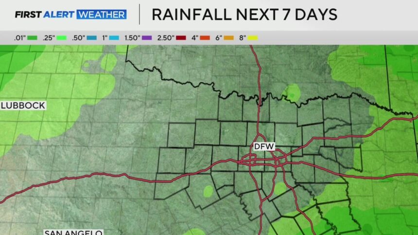
As we navigate through this week, the North Texas region is experiencing a series of spotty showers, bringing an atypical weather pattern for mid-July. The ongoing flood watch for the area has officially concluded, and the evening hours have seen a gradual decrease in rainfall. However, the forecast anticipates another round of scattered showers and thunderstorms occurring throughout Monday.
The current weather conditions could lead to localized flooding, particularly in lower-lying areas or regions hit by heavier rainfall. It’s important to remain cautious as rainfall is not expected to be widespread—some areas may remain dry while others experience significant precipitation.
What to Expect This Week
After a wet start, the weather pattern is predicted to shift as we move into the midweek. By Tuesday, chances of isolated showers will diminish significantly, paving the way for much drier conditions. As the week progresses, residents can expect a return to the typical summer heat.
- Wednesday: Highs reaching the mid-90s.
- Later in the week: Temperature is expected to soar to the mid and upper 90s.
This change in weather will not only dry out the soil but also bring back the summer warmth that North Texans are accustomed to.
Potential Flooding Information
Residents should remain vigilant, especially as localized flooding could occur in particular neighborhoods that are prone to water accumulation. Monitoring local weather alerts will be crucial as storms can develop rapidly.
| Day | Weather Conditions | Highs (°F) |
|---|---|---|
| Monday | Scattered showers and thunderstorms | Low to mid 90s |
| Tuesday | Isolated showers possible | Mid 90s |
| Wednesday | Sunny and dry | Mid 90s |
| Later This Week | Hot and dry | Mid to upper 90s |
Residents of North Texas should stay tuned to local weather forecasts for the latest updates. With fluctuating weather patterns, being prepared can help mitigate the impact of sudden storms or heat waves.


